Kentucky Lake Navigation & Safety Basics
Spending a day on Kentucky Lake doesn’t require years of boating experience, but understanding how the lake is laid out can make your trip more enjoyable and help you avoid unnecessary surprises.
Kentucky Lake stretches for nearly 185 miles and covers more than 160,000 acres. Wide stretches of open water, hundreds of bays and coves, changing water levels, and active navigation channels all contribute to a boating experience that feels different than a neighborhood lake or small reservoir.
The good news is that navigation is straightforward once you understand a few basics. Knowing where to travel, what to watch for, and how conditions can change throughout the day will help you explore Kentucky Lake with confidence.
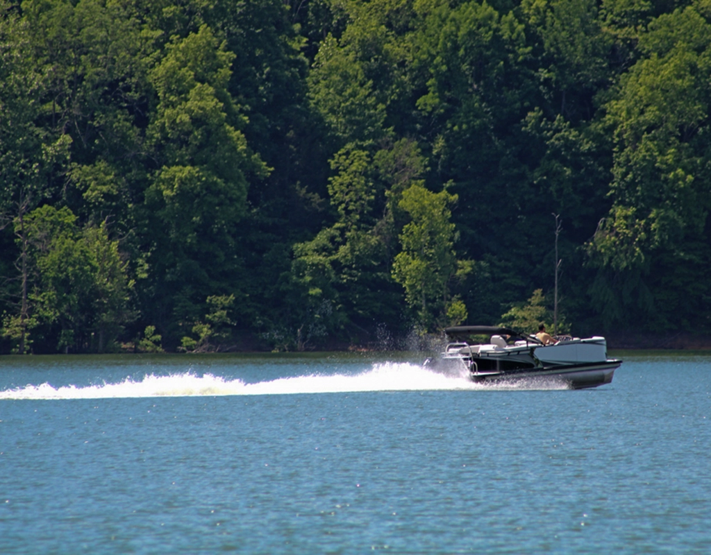
Understanding Kentucky Lake's Navigation System
Kentucky Lake is Big
Kentucky Lake’s size can seem intimidating at first, but getting around is easier than many visitors expect. Marked navigation channels guide boaters through deeper water, while buoys and shoreline markers help identify the safest routes across the reservoir. Learning a few navigation basics before leaving the dock goes a long way toward building confidence on the water.
Marked channels, navigation buoys, and shoreline markers guide boaters through the safest water while helping avoid shallow areas and submerged hazards. Even if you’ve boated elsewhere, taking a few minutes to understand how Kentucky Lake is organized will make your day on the water much easier.
Stay in the Marked Navigation Channel
If you’re unfamiliar with Kentucky Lake, the marked navigation channel is your friend.
The main channel generally follows deeper water and provides the safest route between marinas, boat ramps, and popular destinations. Outside the channel, the lake can become much shallower than many visitors expect.
Rock bars, stump fields, submerged roadbeds, old fence rows, and shallow points are found throughout Kentucky Lake. Many of these hazards are well outside the navigation channel and may not be visible during normal summer water levels.
Staying within marked channels until you become familiar with the lake is one of the simplest ways to enjoy a safer day on the water.
Understanding Navigation Markers
Kentucky Lake uses red and green navigation markers to identify the main boating channel.
When traveling upstream, keep red markers to your right and green markers to your left. When traveling downstream, the opposite applies. Staying within the marked channel generally keeps boaters in deeper water and helps avoid many of the shallow flats, submerged stumps, and other underwater hazards found outside the channel.
You don’t need to memorize every navigation rule before launching, but understanding how the channel markers work will make navigating Kentucky Lake much easier.
For longer trips or when exploring unfamiliar areas, a lake map or GPS chartplotter can provide additional guidance and help you stay aware of the main channel, nearby shallow water, and other navigation hazards.
Why Water Levels Matter
Navigation conditions don’t stay the same throughout the year.
As Kentucky Lake moves between summer pool and winter pool, changing water levels expose shoreline structure that remains underwater during much of the boating season. Shallow points, rock piles, and other hazards become easier to see during winter drawdown but may sit just below the surface during summer.
Understanding current water levels provides valuable context before every trip.
Understanding Our Lakes' Water Levels
Navigating Safely on Kentucky Lake
Watch for Changing Conditions
Conditions on Kentucky Lake rarely stay exactly the same throughout the day. Wind, changing weather, recreational boat traffic, and seasonal water levels all influence how the lake behaves, making it worthwhile to stay aware of your surroundings as you travel. Understanding what to watch for helps you make better decisions once you’re on the water.Kentucky Lake can look very different from one hour to the next.
Calm mornings sometimes give way to increasing afternoon winds, especially during the summer. Wide sections of the main lake can become noticeably rougher than nearby bays, while thunderstorms may develop with little warning during warmer months.
Heavy rainfall can also introduce floating logs and other debris into the lake. Slowing down and remaining alert after significant rain helps reduce the chance of striking submerged or floating objects.
Checking current weather before launching (and occasionally throughout the day) is one of the easiest ways to stay ahead of changing conditions.
Kentucky Dam and Strong Current
The area around Kentucky Dam deserves additional attention.
As the Tennessee Valley Authority (TVA) generates electricity and releases water downstream, current near the dam and tailwaters can change throughout the day. Warning buoys and restricted areas are there for a reason and should always be respected.
If you’re visiting Kentucky Lake for the first time, it’s a good idea to observe these areas from a distance until you’re more familiar with how they operate.
Boating After Dark
Many experienced boaters enjoy Kentucky Lake after sunset, but nighttime navigation requires extra attention.
Navigation lights should be working properly, speeds should be reduced, and marked navigation channels become even more important after dark. If you’re unfamiliar with the lake, exploring new areas is usually best saved for daylight hours.
Monitor Water Levels
Sharing the Water Responsibly
Watch Your Wake
Large wakes can affect smaller boats, anglers, kayaks, paddleboards, docks, and shoreline property.
Reduce your speed around marinas, fuel docks, public boat ramps, and posted no-wake zones. Taking a few extra seconds to slow down is one of the simplest ways to show consideration for others using the lake.
Give Other Boaters Room
Not every boat on Kentucky Lake is traveling at the same speed or headed to the same destination.
Fishing boats may be working a shoreline, paddlecraft often remain close to protected coves, and swimmers may be enjoying quiet bays during the summer. Giving other lake users plenty of space creates a safer and more relaxing day for everyone.
Know the Rules Before You Go
Kentucky Lake spans both Kentucky and Tennessee, and boating regulations can vary depending on where you’re operating.
Before your trip, take a few minutes to review the current boating requirements for the state where you’ll be launching or operating your boat. Having the proper registration, required safety equipment, and an understanding of local regulations helps prevent unnecessary interruptions once you’re on the water.
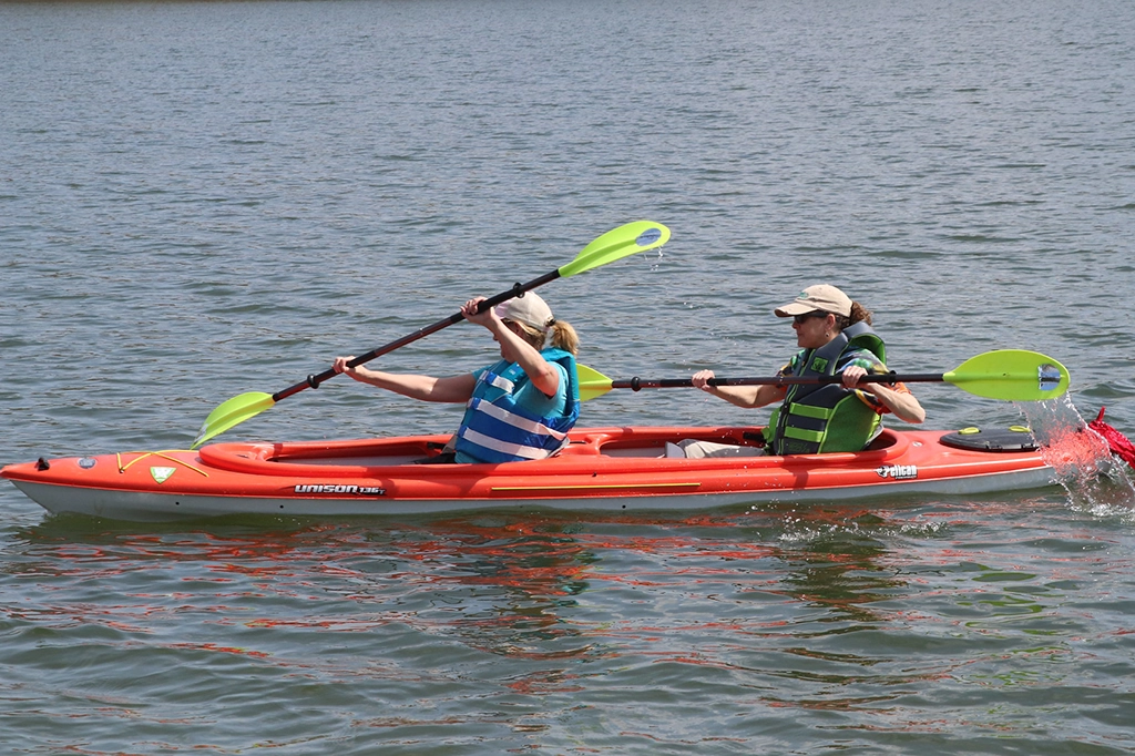
Brandon Spring Group Center
Preparing for a Safe Day on the Water
Plan Ahead
A successful day on Kentucky Lake often begins before the boat ever leaves the trailer. Spending a few minutes planning your route, checking current conditions, and making sure your equipment is ready can help you avoid unnecessary delays and spend more time enjoying the lake.
Know Your Route
Kentucky Lake is much larger than many first-time visitors expect.
Before launching, decide where you plan to spend the day, identify nearby marinas, estimate your travel distance, and make sure your fuel supply matches your plans. Exploring one section of the lake often creates a more enjoyable day than trying to cover long distances.
Be Ready for the Unexpected
Even well-planned trips can change.
Carry a charged phone, basic first aid supplies, drinking water, and any required safety equipment. Let someone know where you’re planning to boat and when you expect to return.
These simple habits provide peace of mind while allowing you to focus on enjoying your day on Kentucky Lake.
Frequently Asked Questions
You Might Also Like