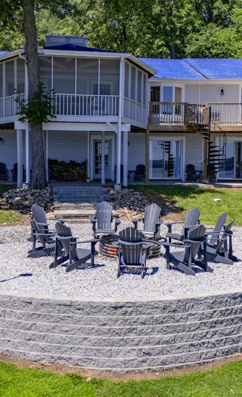
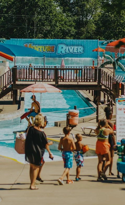
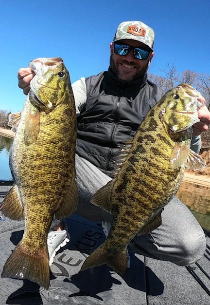
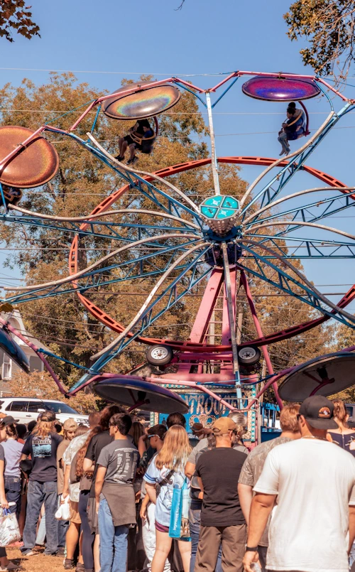
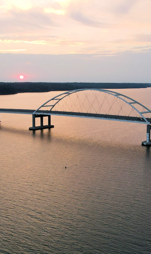
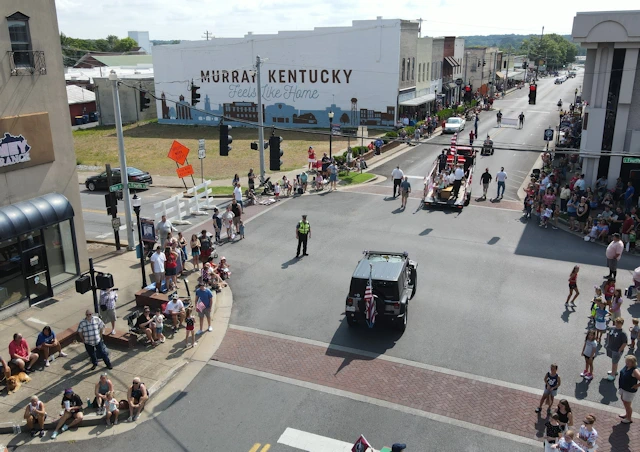
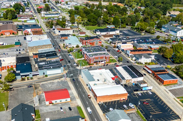
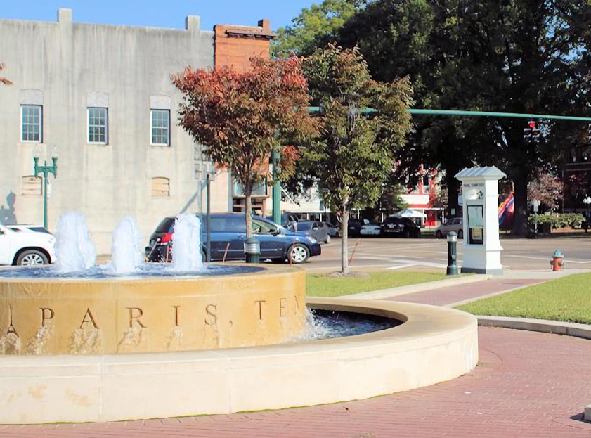
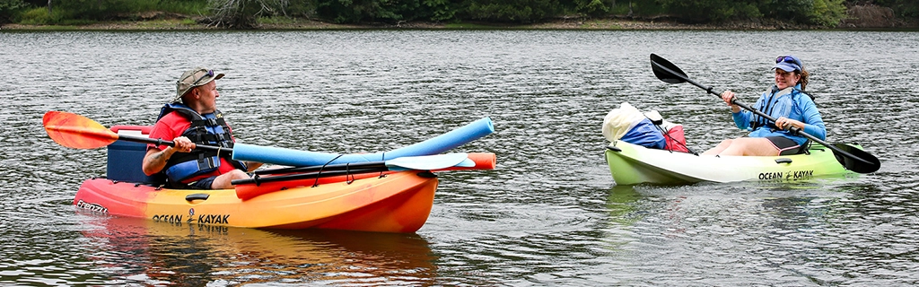
A trip to Kentucky Lake, Lake Barkley, and Land Between the Lakes can take many forms. Some visitors come to fish, boat, hike, camp, or spend a quiet weekend near the water. Others build their trip around local communities, historic sites, seasonal events, or time with family and friends. This section brings together the information that helps make those plans easier, including regional maps, community guides, accessibility resources, climate information, and details for people considering a move to the lakes.
Kentucky Lake, Lake Barkley, and Land Between the Lakes form the center of this region, but each plays a different role. The lakes provide the water, shorelines, marinas, and recreation areas. Land Between the Lakes protects the broad peninsula between them, with miles of forest, trails, campgrounds, wildlife areas, and historic sites. Understanding how the three fit together makes it easier to choose where to stay, what to explore, and how much of the region to include in one trip.
Kentucky Lake
Kentucky Lake is the larger of the two lakes and stretches south through western Kentucky into Tennessee. Its broad waters, long bays, and extensive shoreline support boating, fishing, paddling, camping, and waterfront recreation across dozens of communities and public access areas.
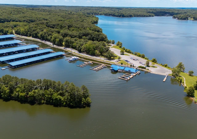
The northern end is anchored by Kentucky Dam, with marinas, state park facilities, and nearby lodging around Gilbertsville and Calvert City. Farther south, the lake reaches past Murray, Paris Landing, Camden, and New Johnsonville. Each section has its own character, and distances can be greater than they appear on a map. Choosing a base near the activities that matter most can make a significant difference in how the trip unfolds.
Lake Barkley
Lake Barkley follows the Cumberland River through western Kentucky and northern Tennessee. It is generally narrower than Kentucky Lake, with long coves, wooded shoreline, marinas, public ramps, and communities that serve the eastern side of the region.
Cadiz, Eddyville, Grand Rivers, and Dover provide access to different parts of the lake, while Lake Barkley State Resort Park remains one of its largest public recreation centers. Near Grand Rivers, the Barkley Canal connects Lake Barkley with Kentucky Lake, allowing boaters to travel between the two systems without using a lock.
Land Between the Lakes
Land Between the Lakes occupies the peninsula between Kentucky Lake and Lake Barkley. The national recreation area covers a large stretch of forest, shoreline, back roads, campgrounds, trails, wildlife habitat, and historic sites in both Kentucky and Tennessee.
Its best-known attractions include the Elk & Bison Prairie, Woodlands Nature Station, Golden Pond Planetarium, and The Homeplace 1850s Working Farm. The recreation area also supports hiking, mountain biking, horseback riding, paddling, hunting, fishing, dispersed camping, and scenic driving. Cell service can be limited in some areas, so downloadable maps and a little advance planning are useful.
There is no single way to experience the lakes. Use the Trip Planner to save places that match your interests, review the FAQs for practical information, and check current weather before heading out. Maps, community pages, climate information, and accessibility resources are also available to help shape a trip around the season, the length of your stay, and the parts of the region you want to see.