Understanding the Kentucky Lake Region
The Kentucky Lake region can be a little confusing at first. “Kentucky Lake” may mean the lake itself, but people may also use the name when talking about the wider area around Kentucky Lake, Lake Barkley and Land Between the Lakes.
That wider region reaches across western Kentucky and northwest Tennessee. It includes two large reservoirs, LBL, several state parks and communities spread along many miles of shoreline. There is no single downtown or central strip where everything is grouped together.
Once you understand how the lakes, LBL and the surrounding communities fit together, the rest of the region starts making a lot more sense.
Understanding the Landscape
The Kentucky Lake Region Is More Than One Place
The first thing to know is that the Kentucky Lake region is not one town. It is a collection of communities and recreation areas connected by the two lakes, the rivers beneath them and the roads that cross the region.
Kentucky Lake reaches 184 miles from Kentucky Dam at Gilbertsville into Tennessee, while Lake Barkley follows the Cumberland River for 118 miles. Land Between the Lakes fills much of the area between them. That puts a lot of ground, and water, under one regional name.
You may stay near one part of the region and never get close to another. That does not mean you missed Kentucky Lake. It simply means you experienced one piece of a much larger area.
Two Lakes Shape the Region
Kentucky Lake and Lake Barkley sit close together and are connected by a canal, but they are not identical.
Kentucky Lake follows the Tennessee River and is the larger of the two. It covers more than 160,000 acres and includes broad stretches of open water, long bays and more than 2,000 miles of shoreline.
Lake Barkley follows the Cumberland River. It covers about 57,900 acres and has a narrower, more winding shape. Its shoreline includes communities, marinas, coves and the eastern side of LBL.
A free-flowing canal near Grand Rivers connects the northern portions of the lakes. Boaters can move between Kentucky Lake and Lake Barkley without loading the boat or passing through a lock. That connection is one reason the two lakes are so often discussed together, even though each one has its own feel.
Land Between the Lakes Is a Major Part of the Region
Land Between the Lakes is not one attraction that you stop by for an hour. It is a 170,000-acre national recreation area between Kentucky Lake and Lake Barkley, with roads, trails, historic sites, wildlife areas and access to both lakes.
The Woodlands Scenic Trace runs north and south through LBL, beginning near Grand Rivers and continuing toward Dover, Tennessee. Smaller roads lead away from The Trace toward campgrounds, trailheads, boat ramps and shoreline areas.
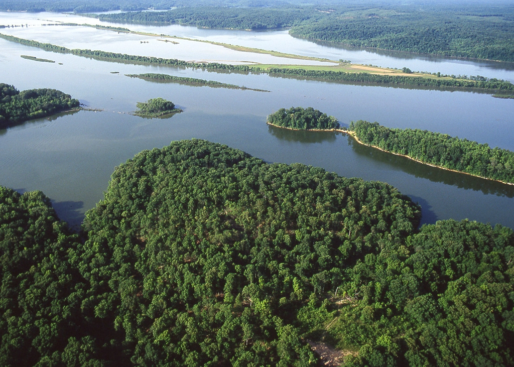
LBL gives the region a large stretch of wooded, mostly undeveloped shoreline. It also explains why a place on Kentucky Lake may look close to somewhere on Lake Barkley while still requiring a longer drive around or through LBL.
Explore the Two Lakes
This map provides a basic viewpoint of where most of Kentucky Lake and Lake Barkley’s establishments are located. You can check out our Interactive Map section for a more detailed experience.
Finding Your Way Around
Roads, Bridges and Water Shape the Map
The lakes have a big influence on how people get around here. Two places can look close on a map while being separated by a wide bay, a long stretch of shoreline or LBL.
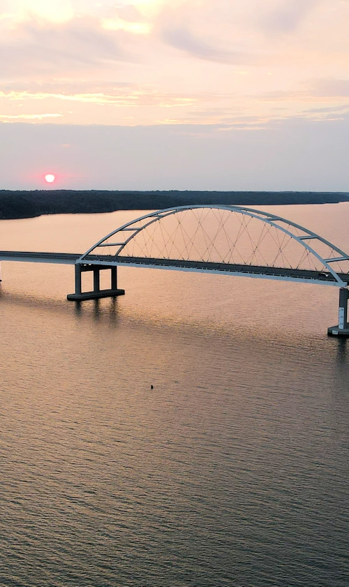
Bridges carry the main road routes across Kentucky Lake and Lake Barkley. From north to south, those include Interstate 24, US 62/641, US 68/KY 80, US 79, US 70, and Interstate 40.
Depending on where you are, reaching the opposite shore may mean heading north or south to the nearest crossing.
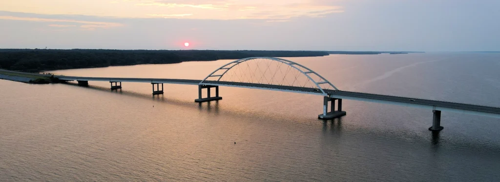
This is why locals often describe a place by the lake, bridge, bay or part of LBL it is near, such as Eggner’s Ferry Bridge (US 68). Those references usually tell you more than the straight-line distance on a map.
The Region Crosses the Kentucky-Tennessee Line
The name sometimes leads first-time visitors to assume the entire region is in Kentucky. Both lakes extend well into Tennessee, and the southern part of LBL reaches toward Dover.
Communities on both sides of the state line are part of the same lake region. People travel between western Kentucky and northwest Tennessee for boating, fishing, dining, events and everyday errands without treating the state line like the edge of the destination.
The line does matter for things such as fishing licenses, hunting regulations and certain public lands. It matters much less when someone is simply describing where they spent the weekend.
The Communities Are Spread Around the Lakes
The Kentucky Lake region includes waterfront communities, small towns and larger service centers throughout western Kentucky and northwest Tennessee. A few sit directly beside the water, while most others are a short drive from a marina, state park or part of LBL.
No single town serves as the center of the whole region. Grand Rivers is closely associated with the northern lakes and the canal area. Other communities serve different stretches of Kentucky Lake, Lake Barkley and southern LBL.
Rather than trying to cover every community here, Our Towns section showcases where each one is located, what is nearby and how it fits into the region.
Local "Dictionary"
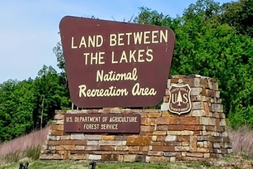
People around here rarely say “Land Between the Lakes National Recreation Area” in regular conversation. They say LBL.
The Trace is the main north-south road through LBL. The lakes usually means Kentucky Lake and Lake Barkley together. Someone may also refer to the Kentucky Lake side, the Barkley side, northern LBL or the Tennessee portion of the lake.
You may hear “Kentucky Lake” used in two ways. Sometimes it means the actual lake on the Tennessee River. Other times it is shorthand for the entire vacation region around both lakes and LBL.
Locals also use the names of bays, bridges and nearby communities when explaining where something is located. Once you recognize a few of those references, local directions become much easier to follow.
How the Region Came Together
Kentucky Lake Changed the Tennessee River Valley
Kentucky Lake was created when the Tennessee Valley Authority built Kentucky Dam across the Tennessee River. Construction began in 1938, and the dam opened in 1944.
Creating the lake permanently changed the river valley. Farms, homes, roads, railroads and communities had to be relocated before the rising water covered the old landscape. The community of Birmingham, Kentucky, was among the places affected.
The lake became an important part of flood control, navigation and hydroelectric power generation. It also created the broad reservoir that now defines the western side of the region.
Lake Barkley Changed the Cumberland River Valley
Lake Barkley was created after Barkley Dam was built across the Cumberland River near Grand Rivers. Construction began in 1959, and the dam was completed in 1964.
Flooding had long affected communities along the Cumberland River, including Eddyville and Kuttawa. The project was developed to support flood control, navigation and hydroelectric power generation.
Its construction brought major changes to the surrounding area. Homes, businesses, roads and parts of established communities were relocated before the lake filled the old river valley. That history remains an important part of understanding Lake Barkley and the communities around it.
The Canal Connected the Lakes
The canal near Grand Rivers joins Kentucky Lake and Lake Barkley at their northern ends. It gives boaters a direct route between the Tennessee and Cumberland river systems and helps tie the two lakes together as one regional destination.
That connection is especially visible around Grand Rivers, where Kentucky Lake, Lake Barkley, the canal and northern LBL all come together within a relatively small area.
Frequently Asked Questions
One Region with Several Distinct Parts
The Kentucky Lake region becomes easier to understand once you stop looking for one central place.
Kentucky Lake and Lake Barkley shape the geography. Land Between the Lakes fills much of the space between them. Communities in Kentucky and Tennessee serve different stretches of shoreline, while bridges, highways and the canal connect the region in different ways.
All of those places share a regional identity, but they do not feel exactly alike. A day near Kentucky Dam has a different setting from one near Paris Landing. Northern LBL feels different from its southern end. A Lake Barkley cove offers a different view than the broad open water of Kentucky Lake.
The water may be what puts this region on the map, but it is only part of what is here. Trails, wildlife, historic places, attractions, restaurants and events are spread throughout the lakes area. The Kentucky Lake region is rich in culture, history, and places to explore!
Events in LBL
You Might Also Like